Active / Hiking
The Lycian Way, the Waymarked Footpath From Ovacık to Kaş
Kate Clow's long-distance trail covers about 500 km of the Teke Peninsula. Its western stretch runs from the hills above Fethiye to Kaş, past mountain villages and ancient cities that few roads reach.
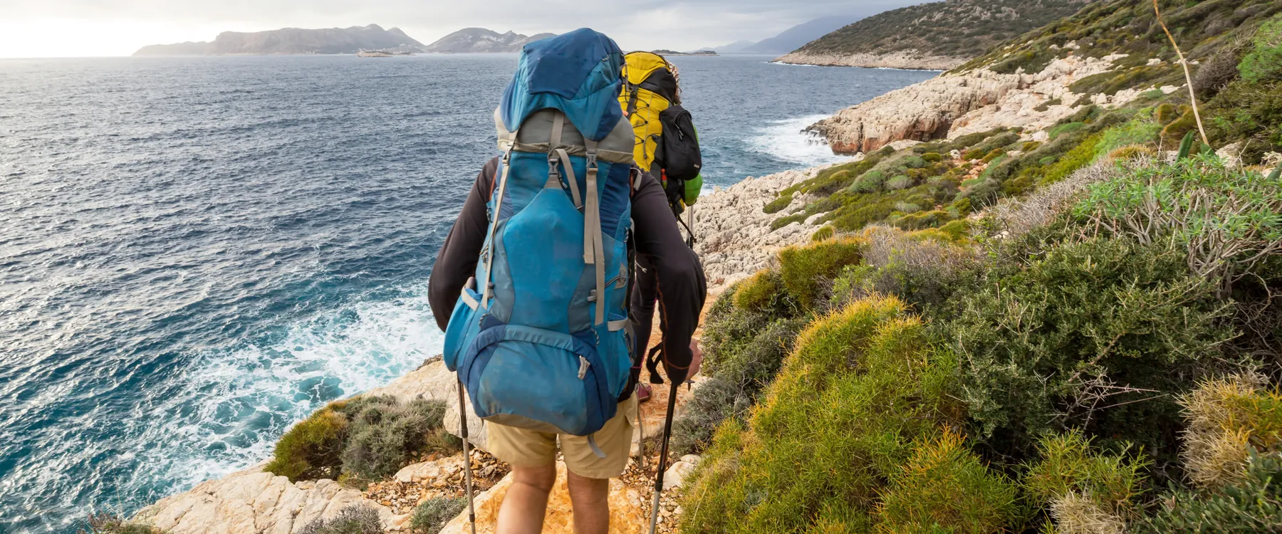
A stripe of white paint over a stripe of red, on a boulder at the edge of the path. Fifty metres on there is another, on a pine trunk, and fifty metres after that a third. The marks are the navigation system of the Lycian Way, and a red cross painted across them means the path is not for you.
Kate Clow, a British writer living in Turkey, conceived the trail, and it opened in 1999, waymarked by volunteers. Parts of it follow routes the Lycians used between their cities and ports. Published lengths run from 450 to 540 km depending on the variants, and a full walk takes about a month. Most people take a section. The western one, from Ovacık above Ölüdeniz to Kaş, climbs a mountain, drops to the coast and passes five ancient sites on the way.
Kilometre by kilometre, west to east
Selected stages, with rounded figures. Guidebooks and GPS tracks differ by a kilometre or two, and several stages have variants.
- Ovacık to Faralya13 to 15 km, five to six hours, over the flank of Babadağ.
- Faralya to Kabak5 to 8 km, depending on whether you take the coastal path.
- Kabak to Gey, by Alınca13 to 17 km. Gey is the village the maps call Yediburunlar.
- Gey to SidymaAbout 9 km.
- Bel to GavurağılıAbout 8 km, a steep descent toward the coast.
- Patara to Kalkan17 to 21 km, depending on where you start in Patara.
- Kalkan to Sarıbelen13.5 km, with about 900 m of climbing.
- Sarıbelen to Gökçeören12 km, mostly remote mountain.
- Gökçeören to ÇukurbağAbout 22 km, the longest stage on this stretch.
- Çukurbağ to Kaş7 km, mostly downhill, with the town below you at the end.
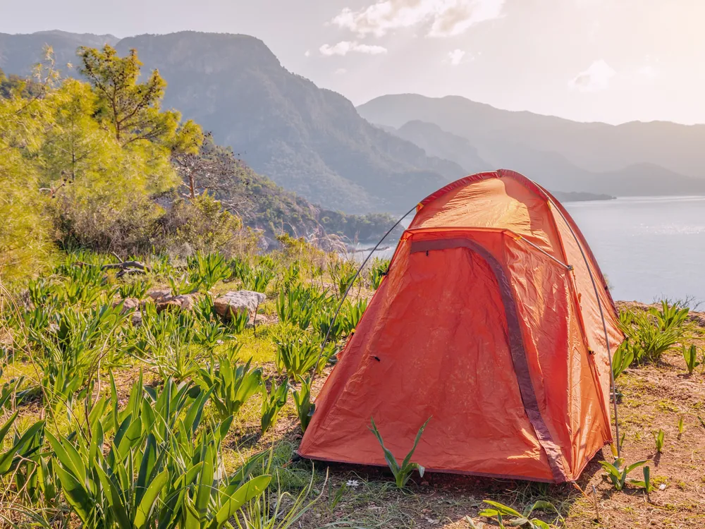
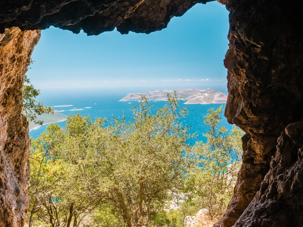
Where the path crosses the ruins
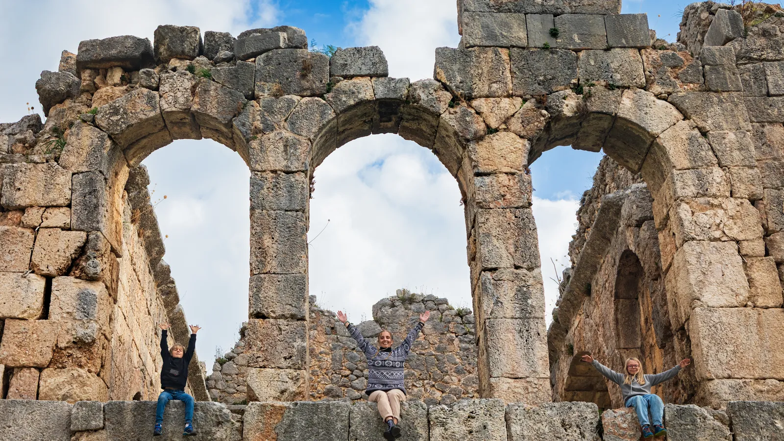
Sidyma is a hill village built among its own tombs, and the trail goes through its lanes. Lower down, the path reaches Delikkemer, an ancient aqueduct that carried water to Patara, and then the city itself. Letoon and Xanthos, listed by UNESCO in 1988, sit a short distance apart on the plain, and the trail runs through the Xanthos site, so the entrance fee applies. Between Gökçeören and Çukurbağ the path passes Phellos, a hill settlement of ancient Lycia.
Editor's picks
- Walk the Babadağ stage and ride back.Ovacık to Faralya fills a day on its own, and the dolmuş home runs along the ridge road.
- Take the coastal path to Kabak.A few kilometres with the sea beside you, and a good half-day for anyone without a full pack.
- Cross Sidyma on foot.Tombs stand against house walls in the lanes, and you pass among them.
- Walk down to Patara.The path meets the aqueduct first and the ancient city second.
- Climb out of Kalkan to Sarıbelen.About 900 m of ascent in 13.5 km, with the bay behind you the whole way. Start early and carry water.
- Finish with Limanağzı.From Kaş, a coastal loop of about 13.5 km to a rocky cove and back, with a roped scramble near the far end.
Insider notes
Müze Kart is valid at Xanthos and Patara, so a walker passing through both can use it at the gate.
Carry food and water for the stretch between Kabak and Gavurağılı. Sidyma has no restaurant or shop, so bring lunch. Sarıbelen's café and market stand a short way up the road, off the trail, so stock up there before the Gökçeören stage.
The whole route is mapped on OpenStreetMap, so apps that use it, such as Gaia, Locus and Maps.me, show the line, the water points and the guesthouses. Download the map before you set out.
Send this to whoever you would walk with. WhatsApp
How to get to the Lycian Way
Dalaman is the closest airport, about 1 hour by road to Ovacık, where the trail begins, and about 2 hours to Kaş, where this stretch ends. Dolmuşes run between Kalkan and both Fethiye and Kaş, and a taxi covers the villages off the main road. Flights from Europe and Istanbul are covered in Getting there.
Another stripe, fifty metres ahead.